Muhammad Murtaza Zaka
Coordinator
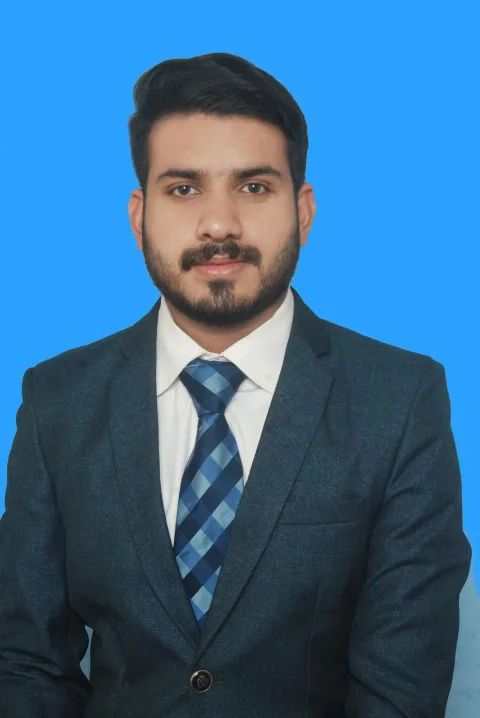
I am a Cartography and GIS researcher specializing in Remote Sensing, geospatial analysis, environmental monitoring, and AI-based Earth observation. I hold a Master’s degree in Cartography and GIS from UCAS and a Bachelor’s degree in Remote Sensing & GIS. My research focuses on wetland vegetation mapping, multimodal satellite data, and self-supervised learning for environmental applications.
Qualifications
Master In Cartography and GIS - University of Chinese Academy of Sciences
Expertise
Research Assistant